The fastest reliable path is a vendor native integration when your telematics provider offers one, since it comes with prebuilt mapping and vendor-maintained updates. When no native option exists, a scoped API integration with tightly controlled tokens and a small pilot fleet is the safer route. Rental and fleet operators using Nomora get GPS tracking built into the platform, with onboarding completed in 24 to 48 hours.
TL;DR:
- Native integrations are faster to set up and maintain since updates and field mapping are managed by the vendor, but they require support from your telematics provider.
- API integrations offer more customization and faster data refreshes but involve higher maintenance and potential additional costs for access.
- Proper preparation, including vehicle inventory validation and network security, is essential to prevent costly remapping and security breaches.
- Regular monitoring of data flow, VIN accuracy, and token validity is crucial to sustain long-term GPS integration health.
- Rental platforms like Nomora provide built-in GPS, simplifying onboarding and management while reducing IT overhead and configuration errors.
Table of Contents
Native integration versus API integration: which one fits your fleet?
A native integration is built and maintained by the software vendor. Setup is faster because the vendor handles field mapping, and updates roll out automatically when the telematics provider changes its data format. An API integration gives you more control: you can pull custom fields, build your own logic, and connect systems the vendor never anticipated. That flexibility comes at a cost, since API access sometimes requires a paid add-on, and someone on your team has to manage credentials and token renewal for the life of the connection.
The trade-offs come down to three factors:
- Maintenance burden: native integrations shift upkeep to the vendor; API integrations put it on your team.
- Latency: native connections typically batch data overnight, while APIs can support hourly or event-driven updates depending on the documented integration model.
- Cost: API access sometimes carries an additional fee that a native connection does not.
Choose native when your telematics provider already supports your rental or fleet software. Choose API when you need custom fields, faster refresh rates, or a connection to a system with no native option.
What to check before you start a GPS integration
Skipping preparation is the fastest way to end up remapping vehicles twice. Work through this list before touching any credentials:
- Confirm your GPS devices and mobile network are compatible, since some integrations exclude older 3G-only hardware.
- Verify your software plan actually includes native or API integration access, and check whether API calls require a separate add-on.
- Build a full vehicle inventory with VINs as the canonical identifier, and confirm meter units (miles or kilometers) match across systems.
- Set up network rules: firewall exceptions, IP allowlists, and a secure secrets manager for storing API tokens.
- Define data governance up front, including consent flows, retention windows, and who can access location data internally.
Pro Tip: Run the vehicle inventory check against your telematics provider's device list before go-live; a single mismatched VIN can silently drop a vehicle from your sync.
Mapping VINs, meters and sensors without losing data in transit
Most integrations map vehicles automatically by VIN, then pull in a defined set of fields: device ID, primary and secondary meter readings, GPS coordinates, diagnostic trouble codes (DTCs), and driver vehicle inspection reports (DVIR) where supported. When a VIN is missing or malformed, the auto-map fails silently unless you build a fallback: cross-reference the device serial number against a canonical asset table and flag anything unmapped for manual review.
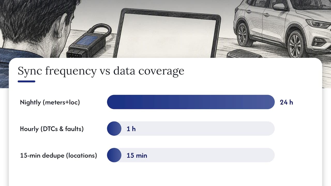
Sync frequency shapes what the data is useful for:
- Nightly batch imports cover primary meter readings and most location history, adequate for maintenance scheduling.
- Hourly imports are common for fault codes and DTCs, per Fleetio's documented behavior for native connections like Samsara.
- Fifteen-minute deduplication rules mean some systems only log a new location entry after that interval has passed, per Fleetio's advanced meter documentation.
For dispatch alerts or geofence triggers, nightly batches are too slow. Use a webhook or vendor event stream instead.
Locking down security and privacy for geolocation data
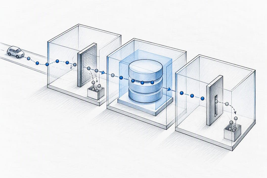
Location data carries more legal exposure than most fleet data, and the NIST guidance on positioning, navigation, and timing (PNT) dependencies treats GPS data as a critical asset requiring device attestation, trusted onboarding, and lifecycle credential management rather than a one-time setup step.
Apply the same discipline to your API tokens: scope each token to the minimum access it needs, rotate credentials on a schedule, store them in a secrets manager rather than a config file, and monitor for unusual access patterns.
The FTC has pursued enforcement action over a company sharing drivers' precise location and driving-behavior data without adequate consent, a case that turned on transparency and consumer control rather than the technology itself.
That is not a hypothetical risk. The FTC's action against General Motors and OnStar shows regulators treating precise geolocation data as sensitive enough to require affirmative consent, clear disclosure, and a working deletion mechanism, not boilerplate buried in a terms-of-service page.
Setting up the integration: from credentials to go-live
Once your checklist is complete, the build itself follows a predictable sequence:
- Enable the integration inside your telematics vendor's console and confirm your plan includes API or native entitlement.
- Generate credentials and store them securely, configuring IP allowlists or OAuth redirect URIs where the provider requires them.
- Map vehicles and meters, letting VIN-based auto-mapping handle the bulk and reserving manual mapping for exceptions. Set meter units to match your existing records.
- Configure sync cadence and alerting thresholds, then run the connection against a small pilot group of vehicles before expanding it.
- Validate the pilot by comparing trip logs, meter readings, and DTCs against the source system, and document a rollback procedure before rolling out to the full fleet.
Pro Tip: Keep your pilot group under 10% of the fleet for the first two weeks; it is small enough to audit by hand but large enough to surface real mapping errors.
Our car rental integration guide walks through this sequence with rental-specific field mapping if you want a worked example.
Keeping the integration healthy after launch
Integrations degrade quietly, so the failures worth watching for are the ones nobody notices right away:
- Missing or incorrect VINs that silently drop vehicles from the sync.
- Expired tokens or blocked IPs that halt data flow without an obvious error on your dashboard.
- Device sleep modes and mismatched unit settings that create gaps or nonsensical meter jumps.
Track telemetry gaps, duplicate entries, sync-latency trends, and sudden DTC spikes as your core health metrics. When something breaks, inspect the API logs and a sample payload first, check device-level diagnostics second, and re-map the affected vehicles last. Periodic reconciliation against the vendor's own dashboard, paired with a review of your service-level agreement, catches drift before it becomes a reporting problem.
What actually breaks GPS integration projects
The integrations that stay healthy long-term are the ones where IT, operations, and the vendor's success team talk to each other before the first token gets generated, not after something breaks. Scope creep kills more projects than bad data does: teams that try to map every field on day one end up debugging five problems at once instead of one.
Pilot small, tune your sync cadence to the actual use case rather than the vendor default, and build reconciliation into a recurring job instead of a one-time check. Data drift is slow and easy to miss until a monthly report looks wrong.
— Dizzy
How Nomora handles GPS integration for rental fleets
Rental operators who want the mapping and monitoring described above without assembling it themselves get that as a built-in feature of Nomora. GPS tracking connects directly into the same platform that handles reservations, contracts, and fleet status, so a vehicle's location, meter readings, and booking status live in one view instead of three separate logins.
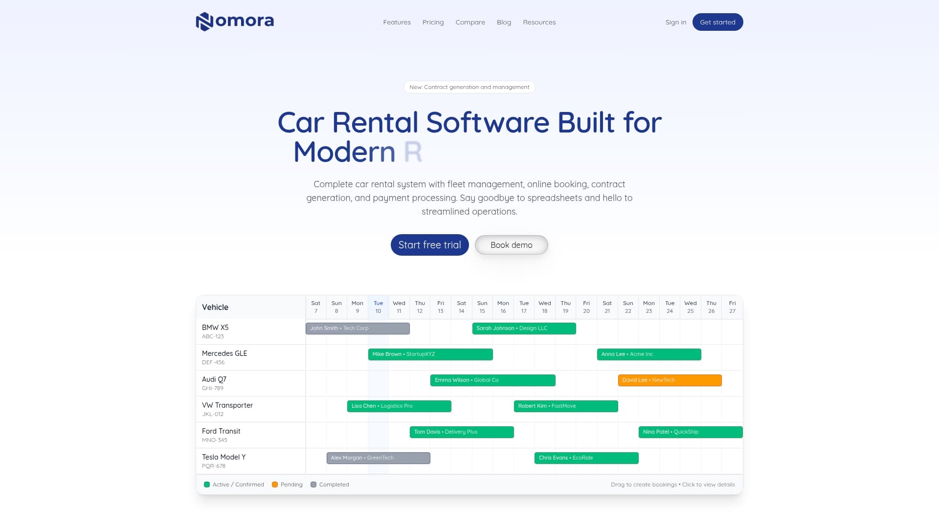
Onboarding is often completed quickly, which matters if your team has faced delays due to manual spreadsheet setups or stalled API projects. Credential handling and data mapping are managed inside the platform rather than left to your IT team to configure from scratch, and the same cloud access that runs your bookings extends to your fleet's real-time location data.
Plans start at 45 EUR per month for Starter, with Business and Fleet tiers priced per vehicle for larger operations. Check current plans and pricing or explore use cases by business type to see how the fit works for your fleet.
Sources
FAQ
What is the best software for GPS tracking?
The right choice depends on whether you need a standalone telematics platform or GPS built into broader fleet and rental management software. Rental operators specifically benefit from a platform like Nomora that combines GPS with reservations and fleet tracking in one system, rather than running a separate telematics tool alongside their booking software.
What is GPS integration?
GPS integration connects a vehicle tracking device or telematics provider's data feed into your existing fleet, rental, or dispatch software so location, meter, and diagnostic data appear in one place automatically. It typically happens through a vendor's native connection or through an API that your team configures and maintains.
Is GPS tracking illegal?
GPS tracking of company-owned vehicles is generally legal, but how the data is collected, stored, and shared is subject to consumer protection scrutiny. The FTC's action against General Motors and OnStar shows regulators focus on consent and transparency, not the underlying technology, so check your own jurisdiction's rules on notice and consent before deploying it.
What are the top 3 GPS trackers?
Rather than ranking specific trackers, the more useful question for a fleet or rental manager is whether a given device integrates natively with your existing software or requires a custom API build. Native support with a provider like Samsara or Geotab, as documented in Fleetio's integration guides, tends to mean faster setup and fewer mapping errors than an unsupported device forced through a generic API.
Recommended
Ready to streamline your car rental business?
Book 30 minutes with the founder. We set up everything in this guide on your own vehicles, and migrate you out of Excel for free.